- 2024-06-12 15:26 9394
- 产品价格:面议
- 发货地址:北京海淀 包装说明:不限
- 产品数量:9999.00 套产品规格:不限
- 信息编号:244890145公司编号:14832749
- 王经理 微信 185101038..
- 进入店铺 在线咨询 QQ咨询 在线询价
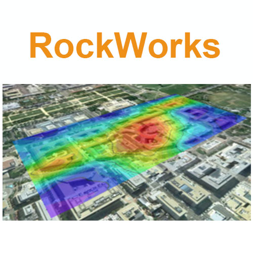
提供rockworks正版软件_正规代理_rockworks2021
- 相关产品:
科学软件网提供的软件上千款,涉及所有学科领域,您所需的软件,我们都能提供。科学软件网提供的软件涵盖领域包括经管,仿真,地球地理,生物化学,工程科学,排版及网络管理等。同时,还提供培训、课程(包含34款软件,66门课程)、实验室解决方案和项目咨询等服务。
Program Automation
The new RockWorks Playlist offers easy automation – click a button to add a program to the current Playlist. Then, click a button to run your Playlist to create models, maps, diagrams while you have lunch. Available for Basic (5 items), Standard (5 items) and Advanced (unlimited items).
Animations
New animation tools have been added for creating videos in which XYZ data, grids, and solids are transitionally “morphed” to show geochemical migrations over time. The output can be saved to AVI, Animated GIF, MP4, WMV, individual frames or exported as a Google Earth animation.
Maps – Additional map layers include a background image, labeled axes, map overlays, up to five additional 2D diagrams, peripheral annotation (titles, title blocks, legends, scalebar, and image), and a border.
3D Diagrams – Additional 3D layers include striplogs, draped images, floating images, control point spheres, a perimeter cage, legends, 3D infrastructure, 3D faults, and up to five additional 3D diagrams.
RockWorks,是一套制作钻探记录,横截面,栅栏图,可靠模型,羽毛,矿体,储油器』,地层学模型和表面,等高线地图和地形模型、立体图、玫瑰图、三重图表等等。
RockWorks 是RockWare公司新版的旗舰版软件,它提供多种方式分析你的地下数据,和接受许多不同的数据类型,比如岩层情况、岩性、井下数据、断裂数据、水文和蓄水层数据。除了其令人印象深刻的收集能力以外,新的版本还有许多新的功能,包括MDB钻孔数据库、交互式测井设计、生动的编辑工具等。
RockWorks提供以下三个版本供选择
Basic:所有实用程序,加钻孔管理地图,日志,日志部分。
Standard:包含Basic功能,还包含了井眼管理建模:岩性,地层,地球物理/地球化学/程,含水层,颜色,裂缝。
Advanced:包含Standard功能,还包含了SQL-server数据库支持、程序自动化(脚本)、3D断层、钻井管理石油生产图。
License Level
Basic
Standard
Advanced
Utilities (including EarthApps)
√
√
√
Logs & Sections
√
√
√
Borehole-Based Modeling
√
√
SQL Server, Automation, 3D Faulting
√
科学软件网不仅提供软件产品,更有多项附加服务免费提供,让您售后**!
联系电话是4008104001, 主要经营北京天演融智软件有限公司(科学软件网)主营产品PSCAD, CYME, SPSSPRO, Stata, Matlab,GAMS,Hydrus,GMS,Visual Modflow 等各学科软件,科学软件网有20多年的软件销售经验,提供专业销售和培训服务,还有更多的增值服务。目前,科学软件网提供的软件有数百种,软件涵盖的领域包括,经管,仿真,地球地理,生物化学,工程科学,排版及网络管理等各个学科。。
单位注册资金单位注册资金人民币 1000 - 5000 万元。